IT Specialist Resume Examples
Land your desired job with help from our IT Specialist resume examples! We’ve got high-quality samples, plus tips for organizing and writing each resume section.
:
Average time to create a resume with LiveCareer!


1/6
Hired By:*

TABLE OF CONTENTS
IT Specialist resume
summary examples
To make your resume pass the seven seconds recruiters spend eyeing a resume, write an impactful resume opener.
The resume summary consists of a two to three-sentence paragraph introducing yourself to potential employers by featuring your top skills and professional abilities.
Think of it like a business pitch. Your knowledge and experiences are the product you have to sell to the investor, in this case, the employer.
If you have plenty of work experience in your desired field, choose the professional summary approach.
If this is your first time applying for a IT Specialist position, use the objective statement, which allows you to share your skills as they relate to your career goals.
You can compare these two approaches in the examples below to determine which is better for your situation.

Good example:
“ I am an experienced IT specialist with 5+ years of experience in system administration, network engineering, and customer service. I have successfully implemented and maintained a variety of hardware and software solutions for multiple clients, resulting in increased productivity and cost savings. My technical skills, combined with my strong customer service and problem-solving abilities, make me an ideal candidate for any IT position.”
Why this example passes:
- Feature candidate’s success statistic to grab attention. Numbers add detail about how big the results you deliver are, e.g., test scores, passing rate and more.
- Shows career length, 11 years.
- Mentions employer-desired skills: student motivation and interactive lessons.

Bad example:
“ Experienced IT Specialist with a passion for technology. Skilled in troubleshooting and problem solving. Looking to utilize my knowledge and experience to help others.”
Why this example fails:
- Doesn’t include any numbers that quantify it specialist’s performance
- Uses vague descriptions and skills.
- Doesn’t include years of teaching experience.
The fastest way to write your
professional summary
Prove your value as a IT Specialist with a sharply written professional summary. You can choose from expert-written content suggestions using our Resume Builder!
- 1
Enter the details about the job title you held. The builder comes preloaded with auto-suggested phrasing written by resume experts.
- 2
Then, just pick from these suggested phrases that best frame your experience and customize them to your liking!
- 3
All you have to do is choose the summary phrases that best frame your experience. It’s like having a professional do it for you!
Our Resume Builder is an ideal solution to all your resume-writing needs, but did you know that LiveCareer also offers professional resume-writing services? Take advantage of all the tools we have at your disposal and land your dream IT Specialist job!
The reviews are in!
See what they’re saying about us on Trustpilot.
IT Specialist resume work
experience examples
The most crucial part of a IT Specialist resume is the work experience section. You’ll need to share a list of your previous roles, unique skills and the specific tasks you accomplished in each one if you want to write a good resume. The following examples will show you what to do and what to avoid when writing your resume’s work experience.
Good example:
Johnson Consulting I Rolling Meadows, IL I 8/2018-current
- Managed IT operations for a 50-person team, increasing efficiency by 25%
- Developed and implemented automated systems for data storage and retrieval, streamlining processes by 40%
- Maintained and monitored IT infrastructure, ensuring optimal performance and availability
- Provided technical support to end-users, resolving over 500 queries per month.
Why this example passes:
- Numbers and statistics add detail and quantify the results this it specialist delivers: 4% improvement and a class size of 20-25.
- Good use of strong words and active language.
- References specialized value cahier provides with “individualized lesson plans.”
Bad example:
Malone Group I Redmond, WA I 4/2022-present
- Maintained computer systems
- Assisted with software installations
- Troubleshot technical issues
- Provided technical support to users
Why this example fails:
- Lacks numbers or statistics.
- Describes general tasks, not teaching achievements or career highlights.
- Uses active verbs, but doesn’t focus on results.
IT Specialist resume skills examples
Here are 18 sample skills for it specialist:
- Needs Assessment
- Quality Assurance
- Discharge Planning
- Project Implementation
- System Upgrades
- Technical Documentation
- Disaster Recovery
- Software Implementation
- Debugging
- Application installations
- Application support
- Technical reporting
- Troubleshooting
- IT consulting
- System design and deployment
- IT diagnostics
- Technical issue analysis
- Troubleshooting and diagnostics
You should sprinkle skills and abilities throughout your resume. Include them in your professional summary, work experience blurbs and a dedicated skills section.
Examples of additional resume sections
Your IT Specialist resume must include five main sections: contact information, professional summary, work experience, skills and education. However, you can continue customizing your resume with additional sections for any other qualifications you possess.
Here are some examples of optional it specialist resume sections that you could add to provide greater detail:
- Languages
- Certifications
- References
- Additional skills
- Accomplishments
- Technical profile
- Software
- Competencies
Including additional sections that help you convince employers you’re the best fit for the position. However, be selective about what qualifications you include, and eliminate any that don’t respond to the job’s specific requirements.
Examples of resume formats
A resume format refers to how a resume’s parts are organized. There are three resume formats: chronological, functional or combination.


The main difference among them is whether or not they give more visual weight to your work history or to your skills section. The format you should select for your resume is based on your years of work experience as a it specialist.
How to choose a resume format
0-3
Years of experience
Functional formats
- Focus on skills.
- Best for first-time it specialist who lack work experience.
- Good for people re-entering workforce.
- May omit dates in the work history section.
Organization:
- Skills listed above work experience.
3-10
Years of experience
Combination formats
- Balance skills and work history.
- Ideal for mid-career it specialist.
- Suitable for career changers and people seeking promotion.
Organization:
- Skills next to or above work experience.
10+
Years of experience
Chronological formats
- Put the most focus on work history.
- Best for it specialist with a long, steady career.
- Most popular format.
- Preferred by recruiters.
Organization:
- Work experience listed above skills.
Once you know the best format for you, it’s easy to pick a it specialist resume template. Templates are preformatted layouts created by design professionals to ensure your resume looks amazing!
Don’t forget your it specialist cover letter
A cover letter works hand-in-hand with your resume to make a stronger case for why you deserve the job.

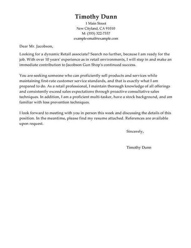
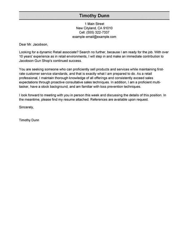
We always recommend submitting a cover letter with your resume because it’s a great way to increase your chances of getting hired.
Cover letters are a supplemental document to your resume that allows you to do many things, such as provide more context on your work experience or the achievements listed on your resume. You can share your career story and how you envision progressing. And you can even add more accomplishments you couldn’t fit on your resume!
Writing a full-page cover letter also shows your critical thinking, attention to detail and communication skills. Sure, it’s extra work, but it pays off, primarily if you use our Cover Letter Generator.
Our Builder will create a completely personalized cover letter from the information on your resume or write it from scratch considering your job title and years of experience. You’ll be done in 15 minutes or less!
If you want more examples of what to include in your cover letter, you can browse all cover letter examples available.
Don’t forget to tie it all together in a stylish yet professional design, which you can find in our cover letter templates library.
Finally, check out our blog article on How to Write a Cover Letter for a deep dive into cover letters.
Similar resume examples
Want to see more resume examples for jobs related to it specialist?


More IT Specialist resume examples


Featured in:*

*The names and logos of the companies referred to in this page are all trademarks of their respective holders. Unless specifically stated otherwise, such references are not intended to imply any affiliation or association with LiveCareer.